01 — LANDTopographical
Topographical
surveys
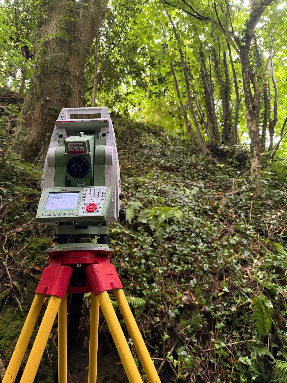
Understand your site before you design. Detailed surveys of levels, boundaries and existing features, presented in clear drawings your team can work with.
Discuss your survey ↗
CLITHEROE, LANCASHIRE · UK-WIDE
Land surveys. Building surveys. Setting out.
Clear information for your next project.
01 / WHAT WE DO
From understanding the land to setting out the build, we provide the measurements and drawings that help your project move forward.
Understand your site before you design. Detailed surveys of levels, boundaries and existing features, presented in clear drawings your team can work with.
Discuss your survey ↗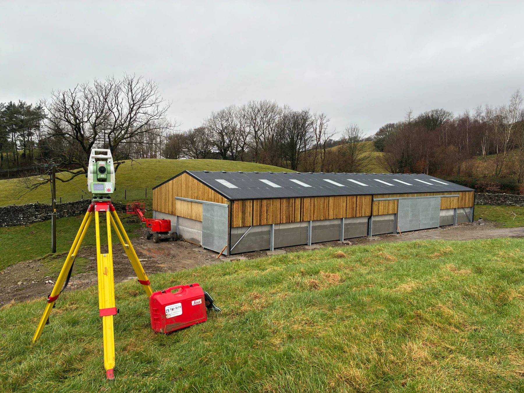
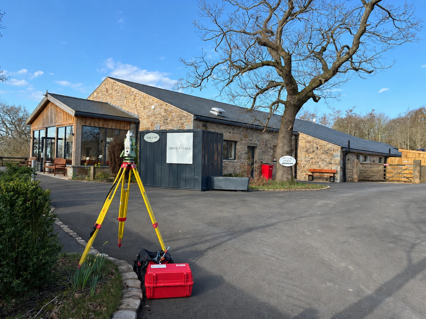
Accurate floor plans, elevations and sections for extensions, refurbishments and redevelopment. A reliable record of the building as it stands.
Tell us about your building ↗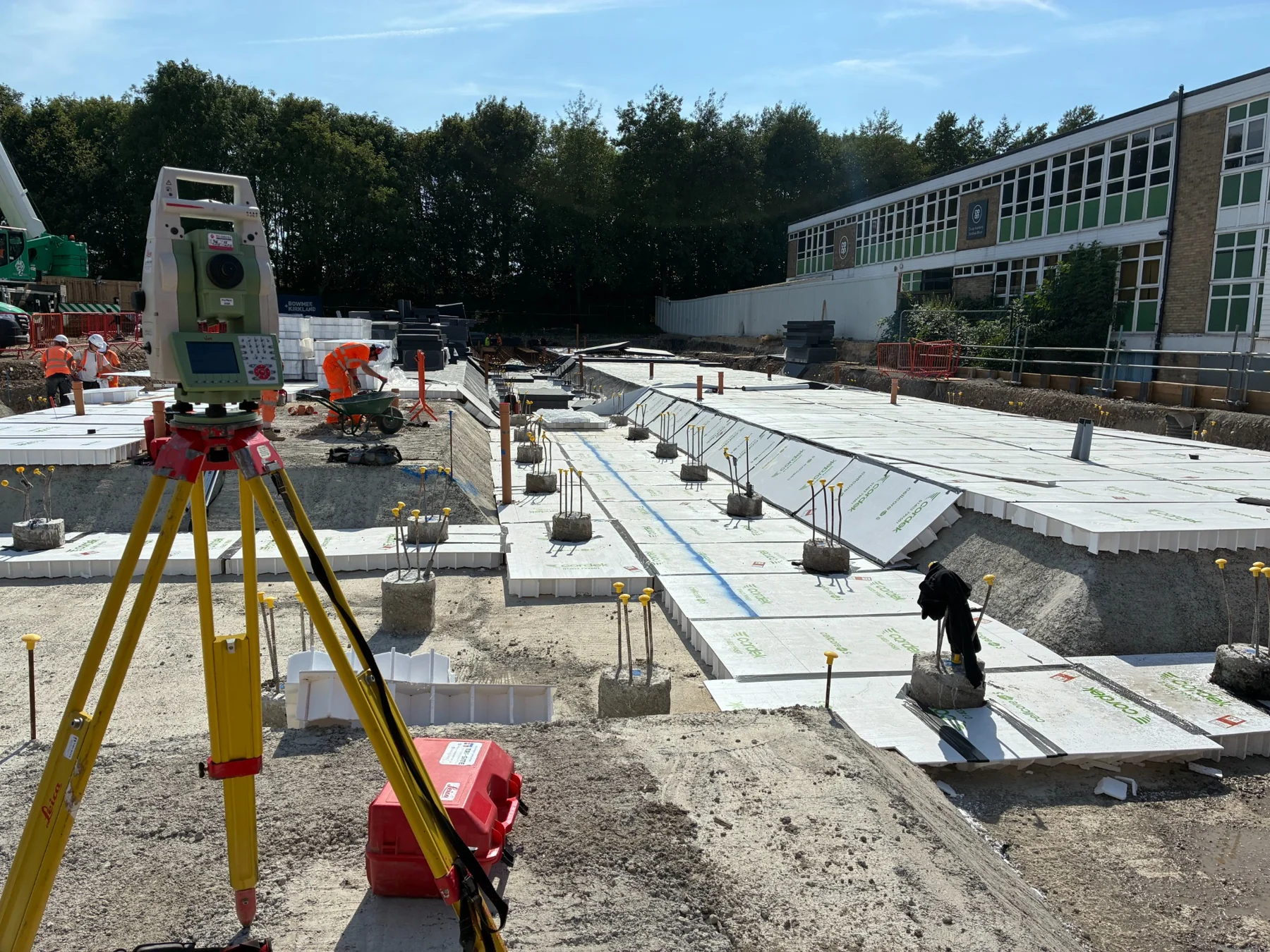
Practical engineering support where it matters: on site. Setting out for foundations, drainage, kerbs, ground screws and external works, with straightforward communication throughout.
Plan your site support ↗As-built surveys · Control networks · Level monitoring
02 / THE PEOPLE BEHIND THE MEASUREMENTS
Two experienced surveyors.
One straightforward approach.
FF Geospatial is run by Tom Forrest and Joe Foster. From the first conversation to the site work and finished drawings, you deal directly with us.
We work with architects, developers, contractors and homeowners across Lancashire, the North West and throughout the UK.
A clear brief and a familiar point of contact.
Clear, usable drawings in DWG and PDF.
Scope and timings set around your project.
03 / OUT ON SITE
From rural properties to active construction sites.
A closer look at the work we do.
04 / LET’S TALK
Tell us where the site is and what you need. We’ll discuss the scope, availability and a quotation.